Written by: Natalia Perez
On Thursday, maps were released of earthquake-prone areas in San Diego to prevent construction from taking place atop faults that could break the surface.
The California Geological Survey (CGS) developed the map to detail where local governments must require site-specific geologic and engineering studies for proposed developments. This ensures that hazards are identified and avoided. New construction with human occupancy must be set back 50 feet from the active surface trace of a fault.
Steve Bohlen, the head of CGS, recently said that “surface fault rupture is the easiest earthquake-related hazard to avoid because you can see the evidence of where it has occurred.” He continued to specify that “surface fault rupture means that one side of a fault moves either vertically or horizontally in relation to the other side. The deformation that movement causes are potentially devastating to buildings and infrastructure.”
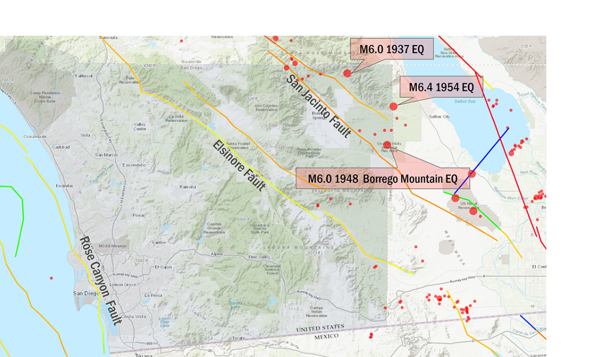
The CGS revised the Rose Canyon Fault into two maps from Coronado Island to the northwest near La Jolla. Each of these maps covers a roughly 60-square-mile quadrangle of territory.
Bohlen stated that: “Hazard management is a fundamental pillar of the work done by CGS and the Department of Conservation, of which we are a part… While our new maps will help protect lives and property, we always encourage Californians to make sure they and their families are prepared for earthquakes and other natural disasters.”
Photo from: California Earthquake Authority