Written by William Hekman
State wildfire hazard maps showing the threat of wildfire in communities are set for some big and long overdue changes. But the changes will create stricter building codes in San Diego county. The stricter building codes are aimed at the reduction of wildfires.
The new maps are expected to be introduced later on this year, and could impact development in the foothills of San Diego and other surrounding counties. The areas were originally not considered to be under high threat but recent Santa Ana winds. The maps have not been updated since 2007 and are supposed to be updated every five years. Since then, California has seen multiple record breaking wildfires in places such as Sonoma, Lake Tahoe, Chico, and Los Angeles. Areas are organized by level of fire threat, ranging from moderate, high, or very high.
The new maps could make reaching local housing goals along with making housing much more expensive with the new standards bringing more costs to housing construction according to Lori Holt Pfeiler, the President and CEO of the Building Industry Association of San Diego County. According to Pfeiler, if the higher cost of meeting the standards isn’t offset by allowing larger scale developments in the hundreds of homes at a time as opposed to 50 or fewer. Pfeiler said that California builders are working with local jurisdictions and are engaged in the map process.
In San Diego, the areas of Jamul, Alpine, Boulevard, Valley Center, Ramona, and much of the rural Northern and Eastern areas of San Diego County are considered high or very high. But in recent years, massive fires have burned outside the areas labeled as high risk, and now areas like Escondido and Poway are considered high threat. But more fires have burned outside of high threat areas. The Cedar Fire in 2003, burned from very high threat areas of East County all the way into parts of the city of San Diego, which was considered a low risk area. Daniel Berlant, who oversees the wildfire planning and engineering division at Cal Fire said that the agency is behind on updated maps, citing need for accuracy, “What will change though, once we are able to accurately map and start to predict and provide more updated hazard levels, is the ability for us to prepare our communities in a better fashion” said Berlant.
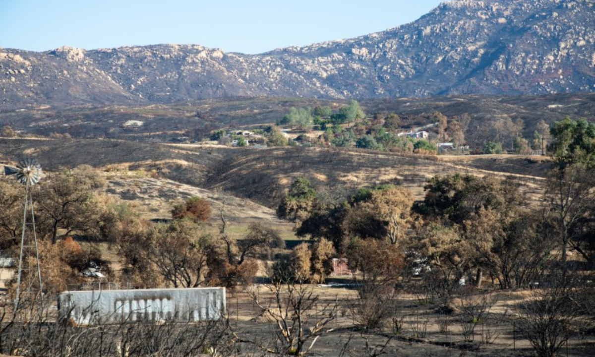
Photo Cred: Zoë Meyers/inewsource